


The Mackinaw watershed begins in Ford County and flows west into the Illinois River. Most of the river is in McLean, Tazewell, and Woodford Counties. It is approximately 744,000 acres or 1,136 square miles. It is home to many native plants, such as yellow lady’s slippers, showy orchid and Virginia bluebells, and is the only location in central Illinois that is home to the heart-leaf plantain.
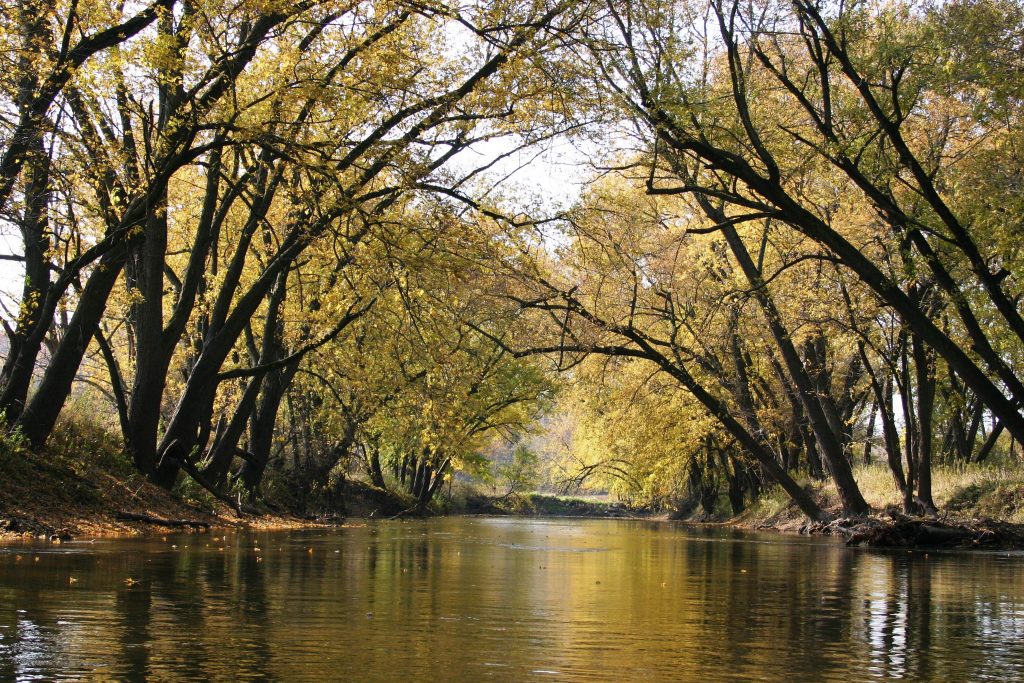
The Mackinaw is also home to a variety of fauna such as warblers, Great Blue Heron, wild turkey, beavers, deer, raccoon, mussels, river otters, crayfish, and 66 species of fish. There are also three endangered species present at this watershed: the Illinois chorus frog, the western hognose snake, and the Illinois mud turtle.
 In 1994, the Nature Conservatory began plans to develop a watershed management plan spurred by input from watershed residents and scientific research. Today the watershed currently faces problems related to altered hydrology, increased sedimentation, and an increase in nutrients and fecal bacteria.
Future watershed plans include:
1) Reducing water volume and velocity of extreme flooding events
2) Reducing bank erosion
3) Reducing nutrients and fecal bacteria
4) Increasing biological diversity
Mackinaw Watershed Studies
Much research has been conducted on the Mackinaw Watershed. To read more about the Mackinaw Watershed, utilize our Watershed Library on the right, or click the links below:
- Water: Just How Clean is it?
- Mackinaw River Watershed Report
- The Hydrogeological Effects of Variable Land Use Along Wolf Creek in the Mackinaw River Watershed
If you would like to learn more about the Mackinaw watershed or how you can help clean up our watersheds please contact us.